OceanTech R&D
BlueTech that connects data to decisions.
We blend satellite imagery, field sensors, and community science to build a shared view of marine ecosystem health across coral reefs, seagrass, and mangroves where data is available.
Satellite & EO layers
Combine public remote-sensing layers such as temperature, turbidity, and chlorophyll proxies to flag changes early.
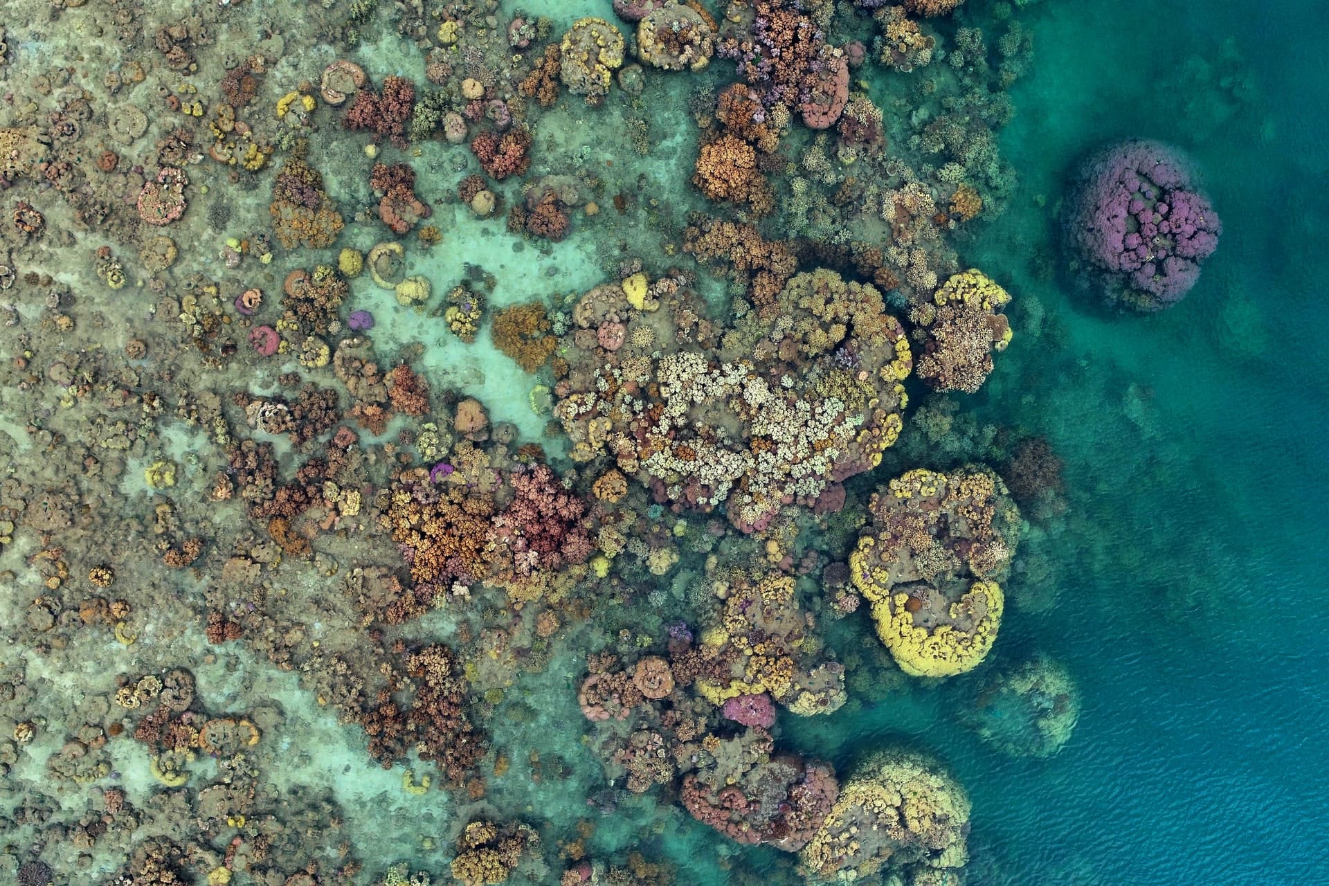
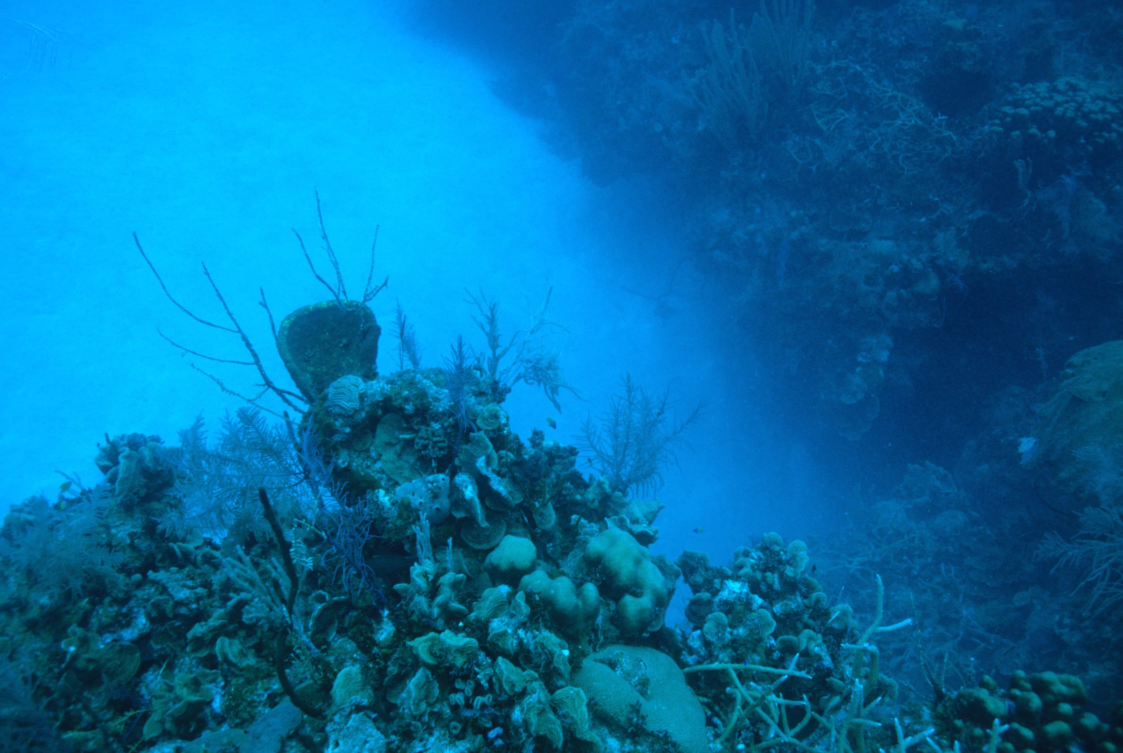
Field imagery & photogrammetry
Diver, drone, and ROV imagery to document reef structure, mangrove canopy, and seagrass extent.
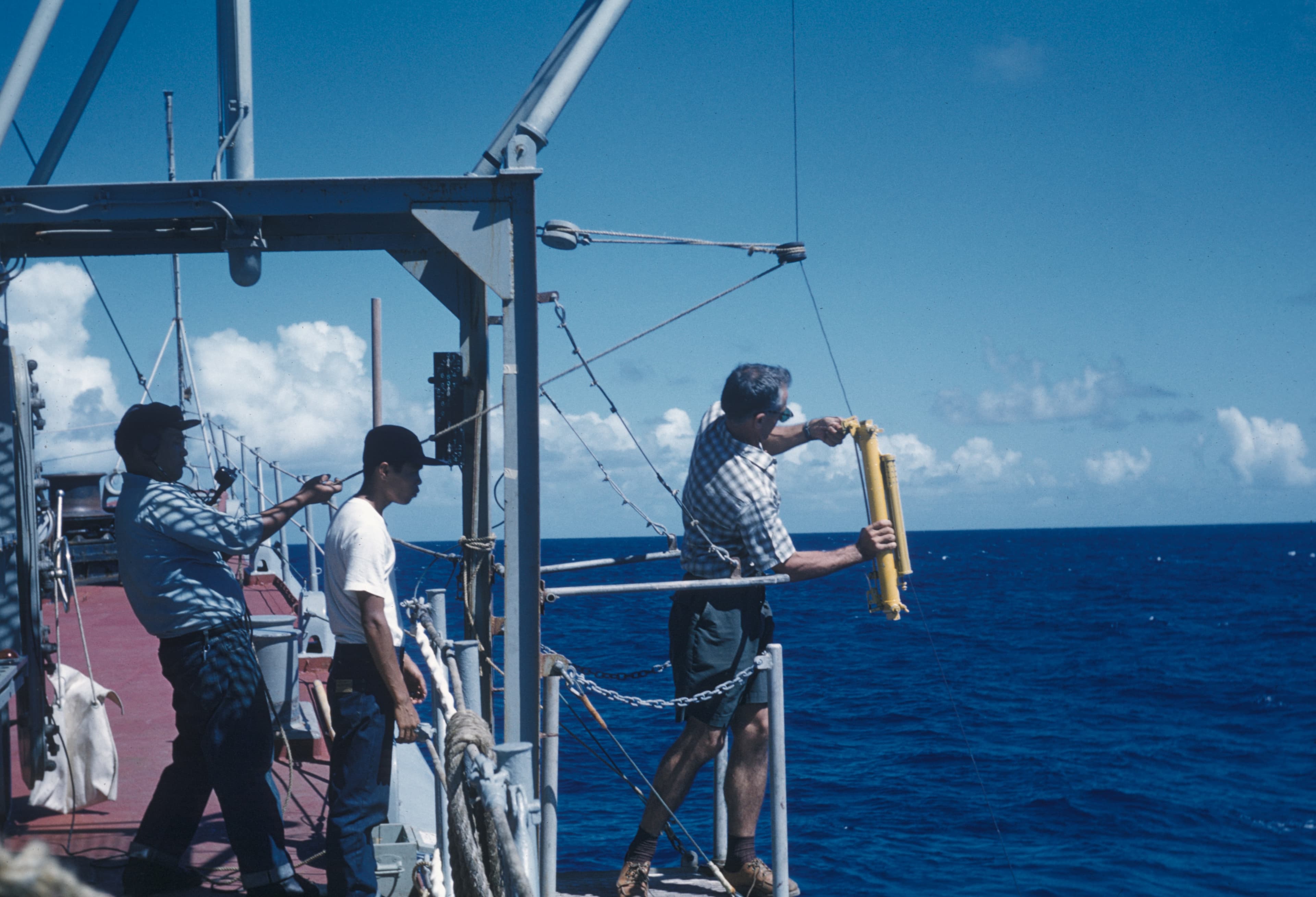
In-situ sensors
Temperature, salinity, dissolved oxygen, pH, and current data when sensors are available on site.
Citizen science
Rangers and community teams contribute geotagged observations, images, and local knowledge.
Why this matters
Ocean monitoring works best when multiple data layers align. Our R&D pipeline keeps satellite signals grounded in field evidence and packaged in formats that partners can use for reporting and action.
Surface early signals for bleaching, blooms, or pollution when data allows.
Support restoration planning with environmental context and field insight.
Share monitoring summaries with metadata and QA notes.
Build a BlueTech pilot
We partner with NGOs, research institutes, and coastal teams to deploy monitoring systems in the field.